Thursday 12th November 2026
By inAfrika Newsroom
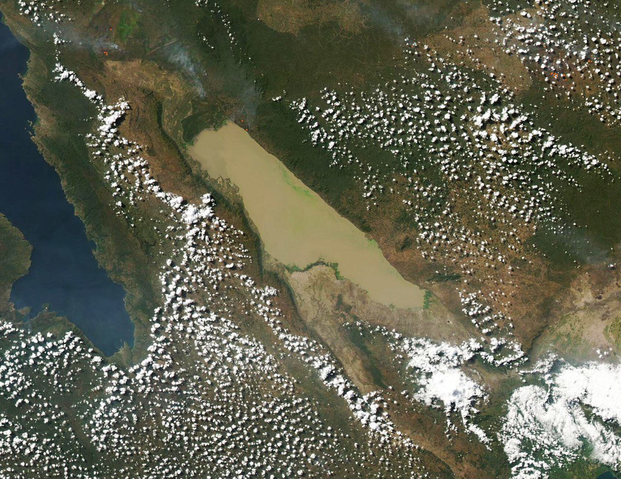
Rift Helium began collecting three-dimensional seismic data at its Upepo exploration project in south-western Tanzania on 10 November. The company said the survey would cover about 90 square kilometres in the Rukwa Basin.
The area is about 83% larger than the company envisaged when it listed, with the survey budget rising 18%, according to its 11 November market announcement. Seismic surveys use waves to map rock layers and structures beneath the surface, helping geologists decide where to drill.
The Upepo project covers three prospecting licences near the southern shores of Lake Rukwa. Rift said it expects the new data to inform an independent resource update in the first quarter of 2027. It plans to drill two exploration wells in the first half of that year.
Have a verified news development or story? Send news submissions and supporting materials to news@inafrika.co.tz

 English
 Kiswahili
 Français
 Português
 简体中文